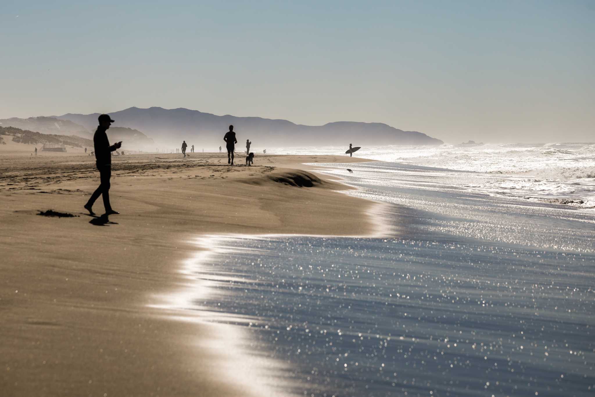
Heat ocean water impacted San Francisco’s sizzling climate

San Francisco recorded its hottest day of the year on Wednesday, hitting 85 degrees. Oakland checked in at 87 degrees, above normal but just shy of Sunday’s high of 88.
Those are some of the unusual weather patterns that Bay Area coastal areas have experienced in recent days, with record warm ocean waters leading to more heat and unusual humidity on land.
A marine heat wave that was in the Pacific Northwest has been moving closer to San Francisco over the past few weeks, and the weather buoy at the San Francisco Bar, located just outside the Golden Gate, set a new daily water temperature record of 66.5 degrees Tuesday compared with the previous high of 64.2 degrees since 2007. Buoys in Point Reyes, Bodega Bay and Monterey Bay have also been close to or just over the daily records in recent weeks.
“We’re at or near record-setting temperatures, but something like an El Niño is just as hot if not hotter,” said Andrew Leising, oceanographer at the National Oceanographic and Atmospheric Administration’s Southwest Fisheries Science Center. “It’s a matter of how long it lasts.”
Leising said recent readings have been high only for brief periods, and a cooling phase is coming soon. But, he added, current temperatures are probably comparable to those during “the Blob” in 2015, when a large marine heat wave lingered off the entire West Coast for over a year before the onset of a strong El Niño, which together disrupted the ecosystem and caused problems in the fishing industry.
What is more remarkable now, Leising said, is that there have been similar small marine heat waves over the past several summers, during non-El Niño years.
“Year after year of this — that’s the part that’s unusual,” he said. “Something different is happening in the system than it has for the past 40 years.”
When warm waters move toward San Francisco, the typical summer fog gets disrupted and the marine layer breaks down. On Wednesday, a crippled marine layer allowed high temperatures along the coast to climb to the 70s and 80s, 10 to 20 degrees above normal, while inland areas were in the 90s, only about 5 degrees above August averages.
This unusually warm water has also kept San Francisco much warmer at night during the past week. Overnight lows have been in the upper 50s to low 60s, above the normal temperature of 55.6 degrees.
That’s unlikely to change much Wednesday night. The National Weather Service said low temperatures in neighborhoods east of Sutro Tower are expected to be in the low 60s, well above average for this time of year.
Not only were temperatures high around the city on Wednesday, but warm ocean temperatures also raised nearby humidity. The Oakland weather balloon Wednesday reported a new daily record dew point, which is a measure of atmospheric moisture.
“A lot of people are noticing it feeling a lot more muggy,” said weather service meteorologist Dalton Behringer. “It’s not unusual that we can have higher dew points this time of year … but we’re kind of in the upper realm of what we would usually see.”
The current coastal warmth is a stark contrast to earlier this summer, when a northwesterly wind pattern kept ocean temperatures and coastal areas much cooler. The weather service predicts a return of northwesterly winds this weekend, which will help cool both water and land temperatures in the short term. However, another bout of warmer water and land temperatures is possible in early September.
Reach Anthony Edwards: Anthony.Edwards@sfchronicle.com. Reach Tara Duggan: tduggan@sfchronicle.com; Twitter: @taraduggan


